
Here is a list of software produced by the research centre’s teams :
Spatial analysis
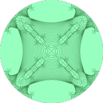 |
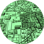
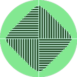
FractalyseAreal and linear fractal measurement softwareFractalyse is a software application for the fractal analysis of 2D patterns. This version 3 of Fractalyse has been written in Java language. Fractalyse runs on any computer supporting Java Virtual Machine. It can be used to compute fractal dimension of bitmap images (raster), vector images and networks. Language : Java. Systems : any system supporting Java. GPL license. Contact : Gilles Vuidel, Pierre Frankhauser, Cécile Tannier |
 |
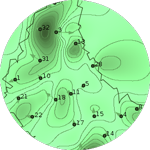
LandsklimStatistical interpolation software for quantitative and spatial dataLandsklim is a QGIS plugin that integrates the tools needed to perform interpolations in QGIS, from reading initial data to statistical analysis and spatial interpolation. Languages : Python. Systems : Linux, MacOS and Windows. Contact : Daniel Joly, Nicolas Lépy |
 |
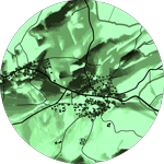
MODAccessMulti-modal network accessibilitySystems : any system supporting Java. GPL license. Contact : Gilles Vuidel |
 |
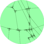
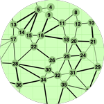
Morphéopython package and plugin QGIS for the characterization of spatial graphsLanguage : Python. Systems : any system supporting QGIS. GPL license. Contact : Claire Lagesse |
Spatial simulation
 |
ArtiScalesSpatial simulation platform that supports the integration of regional planning policies and local design rulesContact : Maxime Colomb and Julien Perret (IGN-LaSTIG), Cécile Tannier |
 |
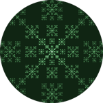
FractalopolisMultifractal urban planningFractalopolis is dedicated to the design of multifractal urban or regional development plans that adhere to five planning principles: hierarchical polycentric urban development; transit-oriented development; locally dense residential development; penetration of green areas into built-up areas across several nested scales; preservation of large interconnected networks of natural and green areas having various sizes. Systems : any system supporting Java. GPL license. Contact : Cécile Tannier, Pierre Frankhauser, Gilles Vuidel |
 |
LucSimLand Use Cellular automata SimulationSimulation software for urban development integrating three models: cellular automata, potential model and Markov chain. Systems : any system supporting Java. GPL license. Contact : Jean-Philippe Antoni, Gilles Vuidel |
 |
MobiSimAgent-based mobility simulationMobiSim is an agent-based LUTI simulation platform for geographical analysis of daily and residential mobility dynamics. It supports decision-making for sustainable planning of French and European cities. Systems : any system supporting Java Contact : Jean-Philippe Antoni, Cécile Tannier, Gilles Vuidel |
 |
Mup-CityMulti-scale urban planning for a sustainable cityDeveloped since 2008 under two PREDIT contracts, MUP-City can be used to create fractal and non fractal residential development scenarios integrating constraints of accessibility to shops, services, open spaces and proximity constraints with the existing road networks. Systems: any system supporting Java. GPL license. Contact : Cécile Tannier, Gilles Vuidel |
 |
S-GhostSelf-Generating Housing Open-Space and TransportationSimulation of the morphogenesis of cities by cellular automata integrating econometric modelling of individual behaviour System: any system supporting Java. GPL License. Contact : Gilles Vuidel |
 |
SimFeodalAgent-based modelling to better understand the evolution of rural settlement patterns in North-Western Europe during the Middle Ages (800 CE to 1200 CE).The model enables exploring the combined effects of social and demographic changes on the concentration and hierarchy of rural settlement patterns. It simulates the emergence of enduring population clusters located around castles and parish churches. Over time, population clusters (hamlets, villages, small towns) become more numerous; many of them grow (i. e. their number of peasant households increases) but some clusters grow more than others. Contact : Cécile Tannier, Robin Cura (Géographie-cités) |
 |
WayMorphSimulation of growth of urban road networksRealistic evolutions of urban road networks can be simulated with WayMorph and the corresponding software application via simple morphological and topological rules. WayMorph is formally an extension of the Courtat’s model (2012). It enables the simulation of complex network shapes by defining successive sequences and stages of network development. Systems: any system supporting Java. GPL license. Contact : Hanae El Gouj, Gilles Vuidel, Cécile Tannier, Claire Lagesse |
Landscape
 |
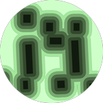
GraphabAnalysis of wildlife habitat connectivity and ecological network modellingGraphab software is devoted to the modelling of ecological networks from the framework of graph theory. It is the only tool able to include construction and visualization of graphs, connectivity analyses and links with external data. It is easily compatible with Geographical Information Systems. Systems : any system supporting Java. GPL license Contact : Gilles Vuidel
|
|
 |
PixscapeAnalysis of landscape visibilityPixScape software is dedicated to the analysis of the landscape visibility from raster data. This software integrates the main functionalities available in standard GIS in this domain and offers other original features such as tangential view and multi-resolution analysis. Systems: any system supporting Java. GPL license. Contact : Gilles Vuidel |
|
 |
Package R graph4lgBuilding graphs for Landscape Genetics analysesSystems: any system supporting R. GPL license. Contact : Paul Savary |
|
Fractals
 |
FractalopolisDesign of multifractal urban or regional development plansThis software application is dedicated to the design of multifractal urban or regional development plans that adhere to five planning principles: hierarchical polycentric urban development; transit-oriented development; locally dense residential development; penetration of green areas into built-up areas across several nested scales; preservation of interconnected networks of natural and green areas having various sizes. Systems: any system supporting Java. GPL license. Contact : Cécile Tannier, Pierre Frankhauser, Gilles Vuidel |
| |
FractalyseAreal and linear fractal measurement softwareFractalyse is a software application for the fractal analysis of 2D patterns. This version 3 of Fractalyse has been written in Java language. Fractalyse runs on any computer supporting Java Virtual Machine. It can be used to compute fractal dimension of bitmap images (raster), vector images and networks. Language : Java. Systems : any system supporting Java. GPL license. Contact : Gilles Vuidel, Pierre Frankhauser, Cécile Tannier |
 |
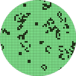
GenFracFractal generatorTool for iterative fractal generation from IFS (Iterated Function System) affines. Systems : any system supporting Java. GPL license. Contact : Gilles Vuidel |
 |
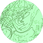
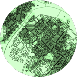
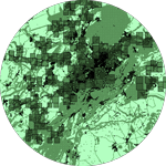
MorphoLimIdentifying urban boundariesMorphoLim is dedicated to the identification of the morphological boundary of urban agglomerations. The method used avoids the need for any pre-defined maximum distance threshold between buildings. It is based on the conceptual and methodological tools of fractal geometry. Systems: any system supporting Java. GPL license. Contact : Cécile Tannier, Gilles Vuidel |
 |
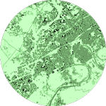
Mup-CityMultiscale urban planning for a sustainable cityMUP-City is a computer application for identifying places where urbanization would be possible in accordance with a principle of fractal urbanization. It allows the user to simulate residential development scenarios based on an existing urban pattern. Additional planning rules introduce constraints on access to shops and services, natural and leisure facilities, and a constraint on proximity to the existing road network. MUP-City applies to European cities of 100 000 – 1 000 000 inhabitants. Systems: any system supporting Java. GPL license. Contact : Cécile Tannier, Gilles Vuidel |
Cartography
 |
DarcyDistance cartogram softwareDarcy software is based on bidimensional regression developed by Waldo Tobler. Systems: any system supporting Java. GPL license. Contact : Colette Cauvin (LIVE, Strasbourg), Gilles Vuidel |
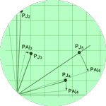 |
IsoDistAngleUnipolar distance and angular cartogram softwareSystems: any system supporting Java. GPL license. Contact : Colette Cauvin (LIVE, Strasbourg), Gilles Vuidel |
 |
AnaplastePiezopleth cartogram softwareSystems: any system supporting Java. GPL license. Contact : Colette Cauvin (LIVE, Strasbourg), Gilles Vuidel |