
Landscape amenities
As a component of living conditions that has been part of European policy since the Florence Convention, landscape is understood here as a relationship between individuals and the geographical space that they use and perceive, as residents, visitors or land managers.
Development of a tool for modelling visibility
The main methodological basis for research in this field is the digital modelling of visibility based on geographical data. Following on from the tools developed over the last 30 years at ThéMA to analyse landscapes, Pixscape has been designed to facilitate the implementation of this form of modelling. This software, which offers several original features compared with GIS (tangential approach to visibility, specific metrics, multi-resolution mode), gives rise to methodological work and is the subject of an annual training course for professionals.
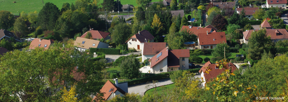
Analysis of landscape preferences
Landscape preferences are addressed in several thematic contexts, with a strong focus on the residential environment. In particular, the aim is to identify and clarify the role of landscape in residents’ satisfaction with their environment. The studies conducted here combine surveys of perceptions and spatial practices with visibility metrics describing the composition and configuration of the visible landscape.
Several avenues for enhancing this theme are currently being explored:
– How do visibility and other landscape dimensions (such as sound) combine to form a multisensory environment?
– Do landscape amenities and the ecological quality of the landscape converge?
– How valuable are online photography platforms as an alternative source of preferred data?
– How should we view the use of landscape arguments in territorial conflicts (the siting of wind turbines)?
– Does access to ‘green landscapes’ affect the well-being of city dwellers?