PixScape software, devoted to the modelling of landscape visibility, is published in the journal “Transactions in GIS”
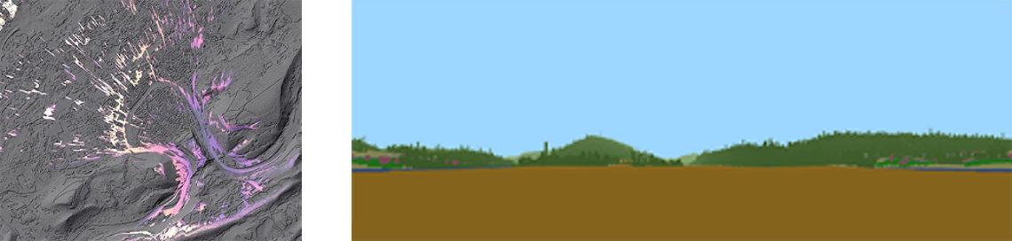
PixScape software proposes to integrate a large set of functions for modeling landscape visibility while remaining interfaced with GIS software. This software can be used to perform a complete landscape assessment by computing a wide range of original landscape metrics. It performs tangential analysis in addition to viewshed analysis, which can produce more realistic outcomes. Because landscape visibility analysis over large areas implies significant computation time, the software also integrates a multi‐resolution process intended to speed up calculations while also taking into account the cognitive abilities of human vision.
DOI : 10.1111/tgis.12457