
Spatial simulation
 |
ArtiScalesSpatial simulation platform that supports the integration of regional planning policies and local design rulesContact : Maxime Colomb and Julien Perret (IGN-LaSTIG), Cécile Tannier |
 |
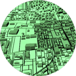
FractalopolisMultifractal urban planningFractalopolis is dedicated to the design of multifractal urban or regional development plans that adhere to five planning principles: hierarchical polycentric urban development; transit-oriented development; locally dense residential development; penetration of green areas into built-up areas across several nested scales; preservation of large interconnected networks of natural and green areas having various sizes. Systems : any system supporting Java. GPL license. Contact : Cécile Tannier, Pierre Frankhauser, Gilles Vuidel |
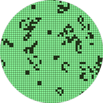 |
LucSimLand Use Cellular automata SimulationSimulation software for urban development integrating three models: cellular automata, potential model and Markov chain. Systems : any system supporting Java. GPL license. Contact : Jean-Philippe Antoni, Gilles Vuidel |
 |
MobiSimAgent-based mobility simulationMobiSim is an agent-based LUTI simulation platform for geographical analysis of daily and residential mobility dynamics. It supports decision-making for sustainable planning of French and European cities. Systems : any system supporting Java Contact : Jean-Philippe Antoni, Cécile Tannier, Gilles Vuidel |
 |
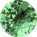
Mup-CityMulti-scale urban planning for a sustainable cityDeveloped since 2008 under two PREDIT contracts, MUP-City can be used to create fractal and non fractal residential development scenarios integrating constraints of accessibility to shops, services, open spaces and proximity constraints with the existing road networks. Systems: any system supporting Java. GPL license. Contact : Cécile Tannier, Gilles Vuidel |
 |
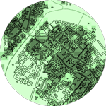
S-GhostSelf-Generating Housing Open-Space and TransportationSimulation of the morphogenesis of cities by cellular automata integrating econometric modelling of individual behaviour System: any system supporting Java. GPL License. Contact : Gilles Vuidel |
 |
SimFeodalAgent-based modelling to better understand the evolution of rural settlement patterns in North-Western Europe during the Middle Ages (800 CE to 1200 CE).The model enables exploring the combined effects of social and demographic changes on the concentration and hierarchy of rural settlement patterns. It simulates the emergence of enduring population clusters located around castles and parish churches. Over time, population clusters (hamlets, villages, small towns) become more numerous; many of them grow (i. e. their number of peasant households increases) but some clusters grow more than others. Contact : Cécile Tannier, Robin Cura (Géographie-cités) |
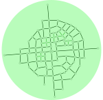 |
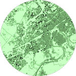
WayMorphSimulation of growth of urban road networksRealistic evolutions of urban road networks can be simulated with WayMorph and the corresponding software application via simple morphological and topological rules. WayMorph is formally an extension of the Courtat’s model (2012). It enables the simulation of complex network shapes by defining successive sequences and stages of network development. Systems: any system supporting Java. GPL license. Contact : Hanae El Gouj, Gilles Vuidel, Cécile Tannier, Claire Lagesse |